
Choose an item or a map marker.
The map moves to the location and highlights the region.
HiWater combines GIS network data, FLIQ schematics, hydraulic modelling and Flowtrix NRW analytics to help water operators understand performance and plan the right improvement.
Our work combines engineering experience, field evidence and calibrated models to support practical water network decisions.
Selected clients




Water industry experience
Water networks digitised and modelled.
Field test points analyzed
Trained through technical programmes
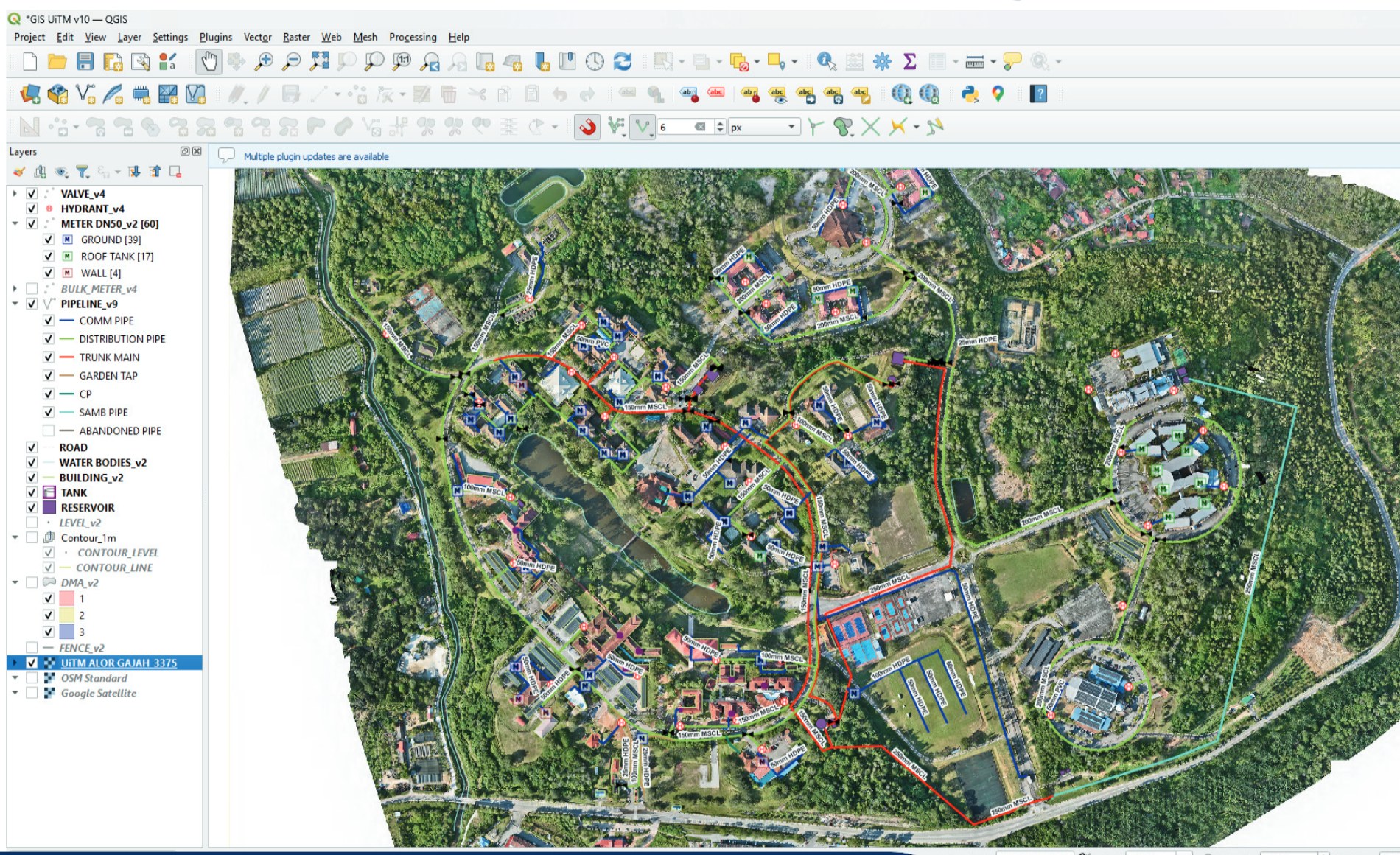
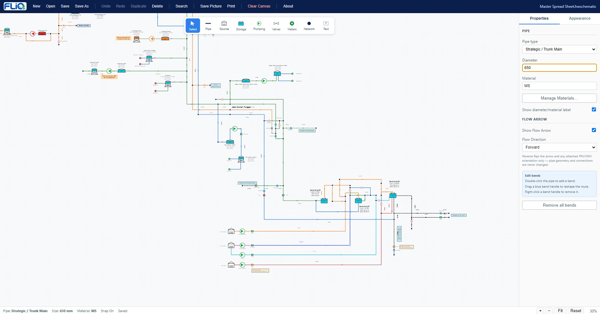
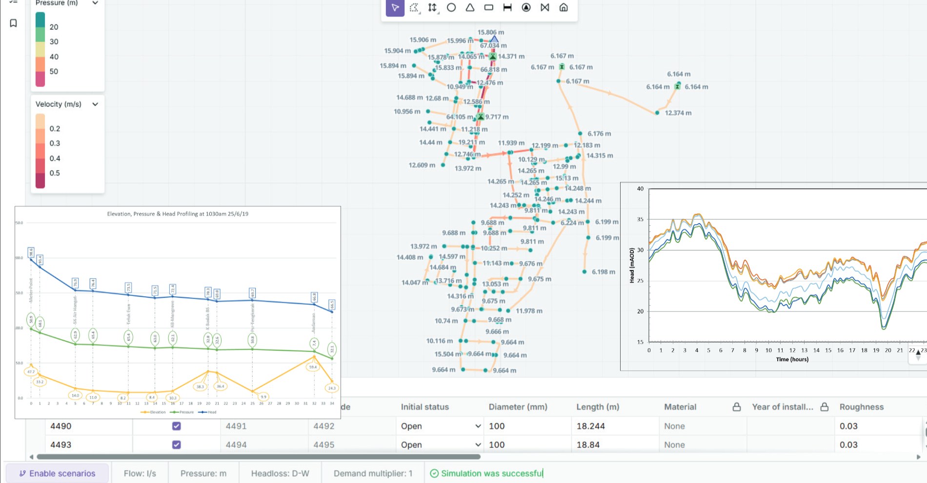
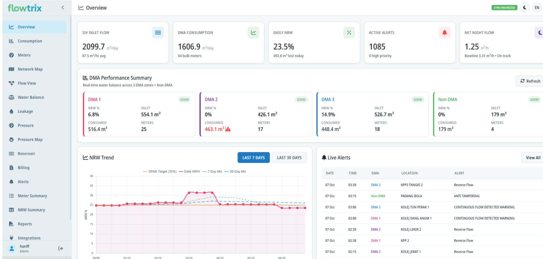
GIS builds the data foundation. FLIQ creates a clear system view. Hydraulic modelling tests network performance. Flowtrix supports continuous NRW management.
We organise, verify and integrate spatial network data to improve network visibility, planning and analysis for water utilities.
FLIQ is HiWater’s Water Network Schematic Builder. It turns complex network data into a clear, editable and printable view of the whole system.
We specialise in developing calibrated models and applying hydraulic models to help water utilities plan, operate and improve their networks.
Flowtrix brings together network data, real-time monitoring and NRW analytics for better water loss management and operational decisions.
HiWater connects field evidence, engineering models and system analysis through one practical workflow.
04 DecideTurn findings into an action plan.
Capture what is happening on the ground.
Build a reliable representation of the network.
Find the cause behind network problems.
Turn findings into an action plan.
One connected workflow. From site reality to engineering decision.
Simple tools designed around how water engineers work, document and communicate.
Draw Water Networks. Faster.
Water Network Schematic Builder
A focused desktop tool for preparing clear water network schematics without complex CAD workflows.
Smart Water Network Insights
NRW Management Platform
Flowtrix brings operational water-network data into one platform for monitoring NRW performance, water balance, alerts, anomalies and improvement actions.
An intuitive, accessible platform that gives operations teams a single, reliable view of NRW.
Selected experience across GIS, hydraulic modelling, NRW management, network optimisation, water infrastructure and training in Malaysia and Indonesia.
The map moves to the location and highlights the region.
Choose a training format to view the programme.
Focused technical sessions for hydraulic modelling, GIS, NRW and network analysis.

Tell us the problem, system or project you are working on. HiWater will help identify the right technical starting point.